
Proposals
A landscape-led approach for Walkern
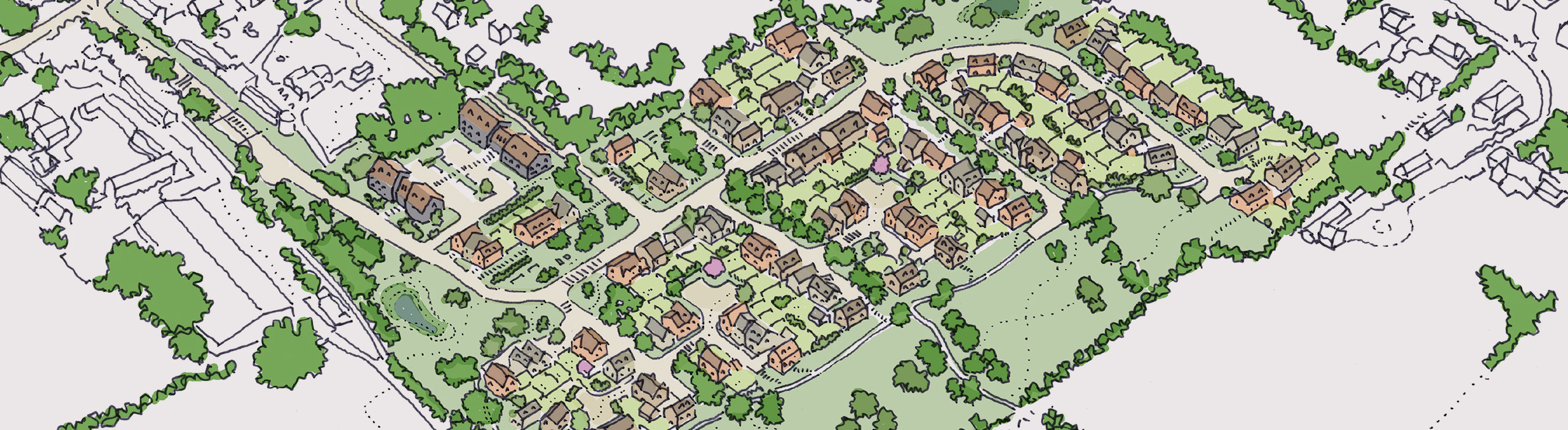
Taylor Wimpey is preparing a Full planning application for up to 120 new homes, including 40% affordable housing. The emerging proposals are being developed around the site’s landscape, heritage, highways, ecology and drainage considerations.
The design is still evolving. Development is being concentrated within the centre of the site, with landscaped areas around its edges, retained and enhanced boundary vegetation, new planting and public open space helping to create a transition between the village and surrounding countryside.
Key features
Creating a well-designed extension to the village
- Up to 120 new homes, providing a range of different house sizes to help meet housing needs.
- Approximately 40% of which will be affordable homes, integrated throughout the development.
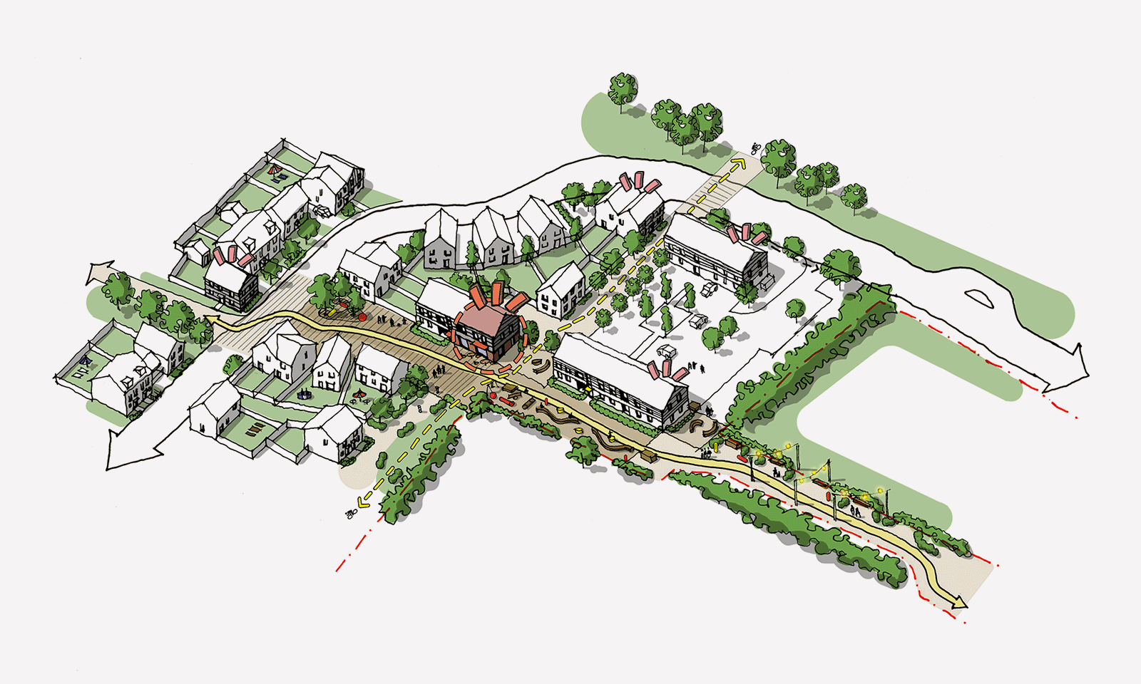
- A landscape-led masterplan, with development concentrated towards the centre of the site and greener, lower-density edges.
- Landscaped public open space, providing areas for recreation, walking, planting, wildlife and sustainable drainage.
- Retained and enhanced vegetation, including existing hedgerows and tree lines wherever possible alongside new native planting.
- New and enhanced wildlife habitats, including wildflower areas, wetland planting, trees and scrub.
- Walking and cycling connections, linking the development with the existing village network and considering wider improvements.
- Sustainable drainage, designed to manage surface water without increasing flood risk elsewhere.
The site
Site masterplan
The site sits immediately adjoining Walkern. The main vehicular access is proposed to be taken off High Street, just south of Dovehouse Lane.
A portion of the Walkern Conservation Area extends into the site around Kitcheners Lane and the site entrance, and several listed buildings are located nearby. These relationships have been important considerations in developing the emerging layout, landscape design and access arrangements.
The emerging masterplan arranges development in smaller residential clusters, with green corridors extending through the site. Along the sensitive western edge, open space, structural planting and separation between building groups help break up the built form and create a softer transition between the development and the surrounding countryside.
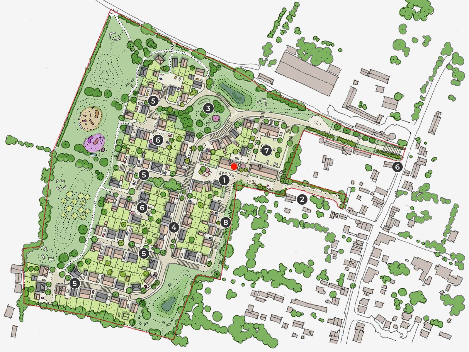
- 1Kitcheners Square establishes a new focal point for the community
- 2An active route with incidental play, seating and lighting
- 3A new green space to act as a soft gateway into the neighbourhood
- 4A primary north–south route echoes the character of Walkern’s High Street
- 5Homezones with green spaces along the route for informal play and gathering.
- 6Clusters of homes overlook shared courtyards
- 7A cluster of apartments and a new north south pedestrian and cycle route
- 8Homes orientated to provide an active frontage to the eastern edge of the site
New homes
Homes for a range of needs

The emerging proposals include up to 120 homes in a range of sizes. The detailed housing mix will continue to be refined as the design develops, taking account of technical work, discussions with East Herts District Council and feedback from the community.
Approximately 40% of the homes are currently proposed as affordable housing. These would be integrated throughout the development and designed to the same external standard as market homes.
Design
Drawing on Walkern’s historic character
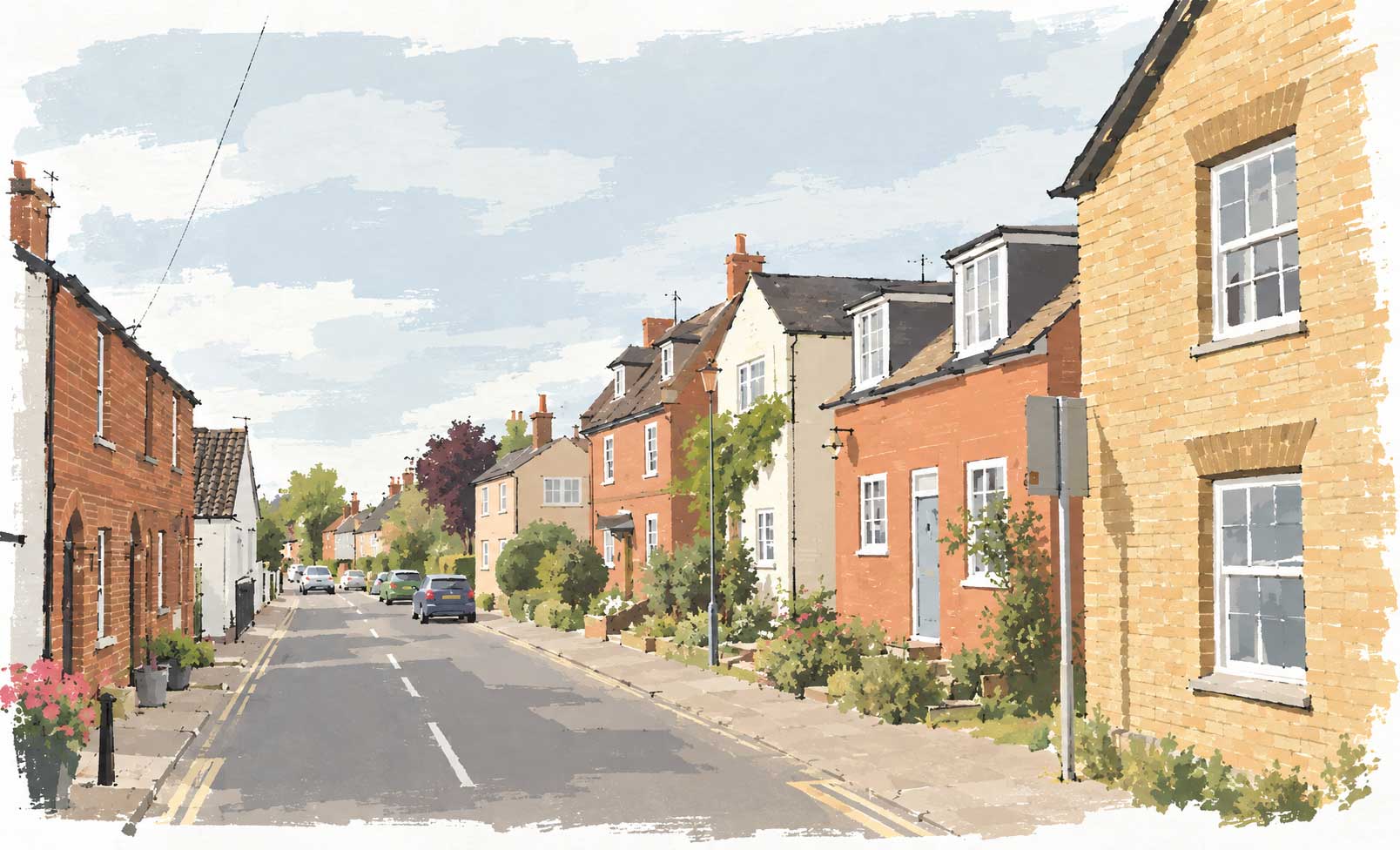
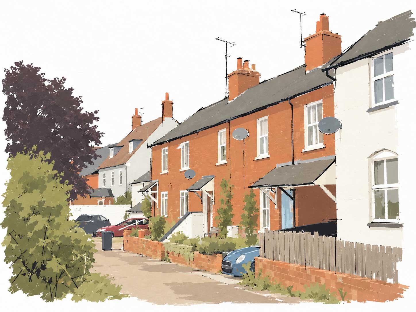
The emerging masterplan has been shaped by Walkern’s distinctive historic settlement pattern. The narrow field pattern running out from High Street has helped establish the structure of the new neighbourhood, with green corridors extending across the site and breaking the development into smaller residential clusters.
A principal north–south street will form the spine of the neighbourhood, drawing inspiration from the varied building lines and green spaces found along Walkern High Street. Smaller lanes and homezones will branch from this route, alongside courtyard-style groups of homes inspired by existing parts of the village such as Rookery Close and Walchra Court.
Green space
Landscape at the heart of the proposals
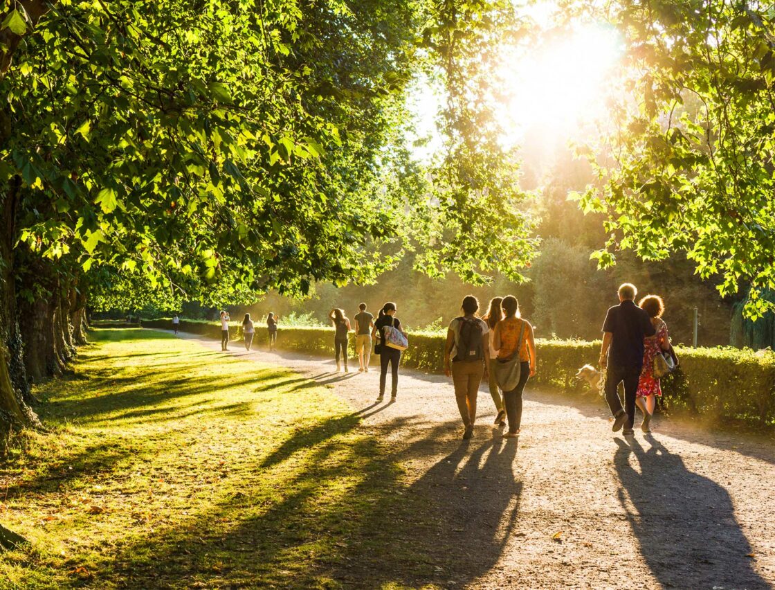
Landscaped public open space will form an integral part of the development and will perform several functions, including recreation, landscape screening, habitat creation, sustainable drainage and providing walking routes.
Existing hedgerows, trees and other boundary vegetation will be retained and reinforced wherever possible, alongside new native planting and green corridors. The proposals include play areas, informal green spaces, landscaped courtyards and a potential community orchard.
Infrastructure
Planning for local services
The potential effects of the development on schools, healthcare and other local services will be assessed as the proposals develop.
East Herts District Council, Hertfordshire County Council and other relevant service providers will help identify what mitigation is required. This could include financial contributions, planning obligations or on-site measures.

Timeline
How will the project move forward?
The programme may change as the proposals and technical work develop.
November 2026
Launch of the public consultation, project website, survey and interactive map.
Online webinar with members of the project team. Feedback reviewed and emerging proposals refined where appropriate.
January 2027
Taylor Wimpey is currently aiming to submit a planning application to East Herts District Council.
Following submission
East Herts District Council will undertake its own statutory consultation, giving residents and stakeholders another opportunity to comment.