
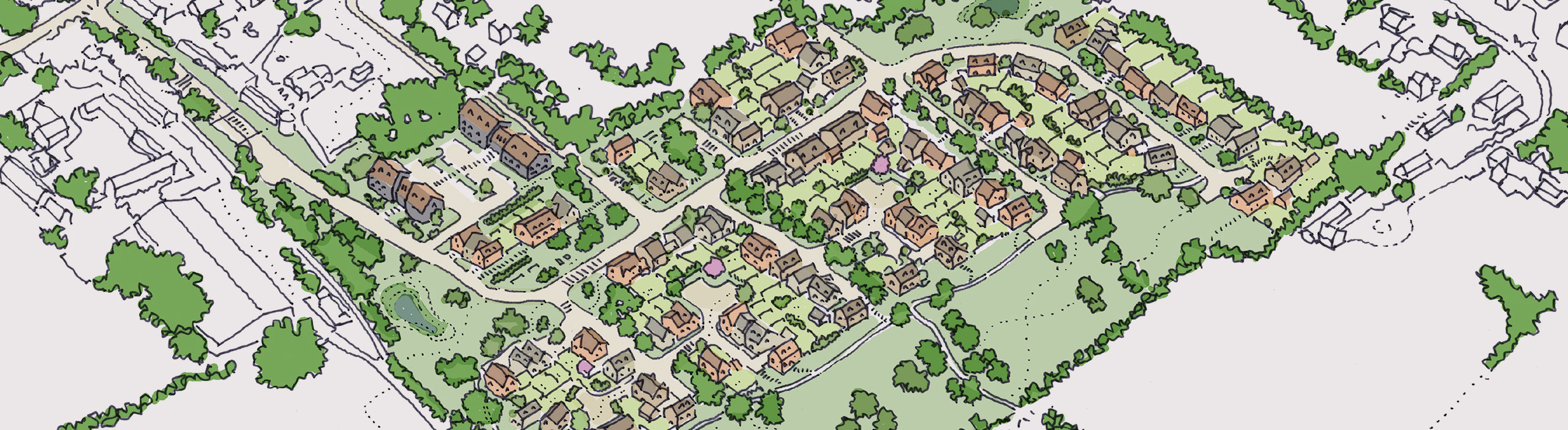
Landscape and environment
Responding to Walkern’s character and setting
Walkern’s rural setting, Conservation Area, nearby listed buildings and existing landscape features have been central considerations in developing the emerging proposals.
The project team is preparing specialist landscape, heritage, ecology, drainage and archaeological assessments. These are helping shape the layout now, rather than being considered only after the design has been fixed.
Heritage
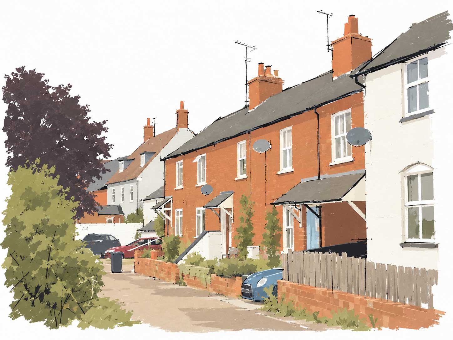
Respecting the historic village
A portion of Walkern Conservation Area extends into the site around Kitcheners Lane and the site entrance, which is also close to a number of listed buildings, including Manor Farmhouse and its dovecote.
The emerging layout has therefore been designed to respond sensitively to the historic character and setting of this part of Walkern. This includes the location and orientation of buildings, landscape planting and the treatment of the site entrance.
The proposed access is designed as a landscaped entrance lane, creating a sensitive transition into the development while respecting the setting of the surrounding heritage assets.
Landscape
Creating greener edges
The masterplan takes a landscape-led approach, with existing tree corridors extended across the development to create green connections and break the new homes into smaller residential clusters.
Existing trees, hedgerows and other landscape features will be retained and reinforced wherever possible. Along the sensitive western edge, green space, new planting and separation between building groups will help break up the built form and create a softer transition between the development and the surrounding countryside.
Wildlife
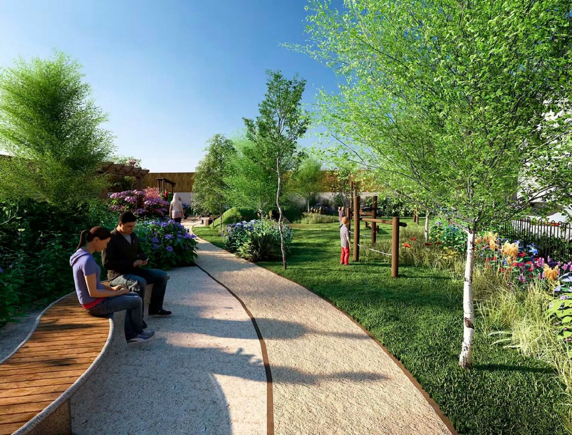
Protecting and creating habitats
Ecological surveys have considered habitats and species including bats, badgers, reptiles, birds and hares. Consideration of priority species and common invertebrates has also been made.
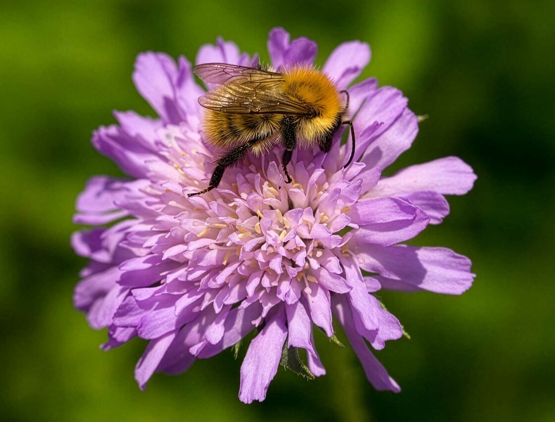
Existing hedgerows and tree lines are among the site’s most important habitats and are intended to be retained and managed for ecological benefits. New wildflower areas, wetland planting, trees and scrub will provide additional habitat aimed at supporting local wildlife. Dark routes around the edges of the site will help bats move through the landscape.
A Biodiversity Net Gain report will accompany the planning application and will set out the proposed habitat creation and enhancement measures.
Drainage
Managing surface water sustainably
The site is within Flood Zone 1 and is considered to have a low risk of surface-water flooding.
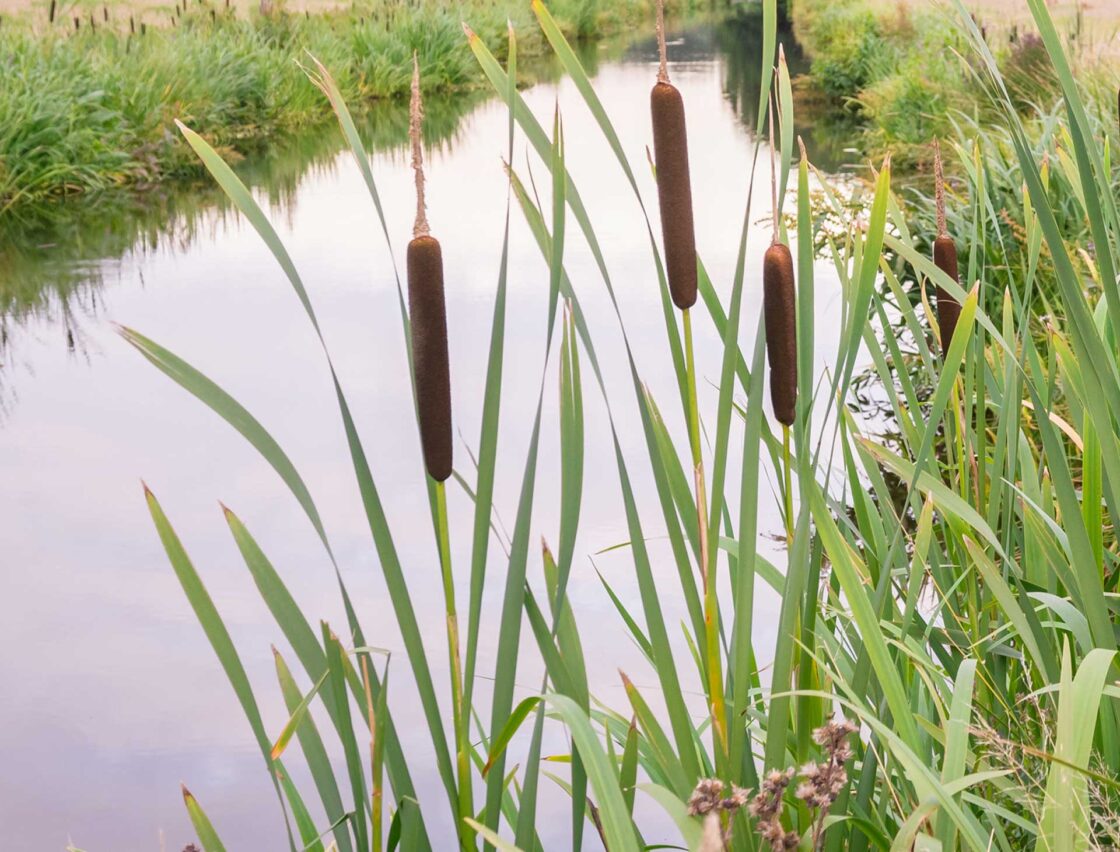
The emerging drainage strategy uses sustainable drainage features to collect and store surface water before releasing it at a controlled rate. The system will be designed so that the development does not increase flood risk elsewhere and will be reviewed by the relevant statutory bodies through the planning process.
Archaeology
Understanding the site’s history
Archaeological assessment work has previously been undertaken, including a desk-based assessment and geophysical survey.
The work identified a generally low potential for significant archaeological remains across most of the site, although the proposed access is within an area of greater archaeological interest associated with the historic centre of Walkern.
The scope of any further investigation will be agreed with Hertfordshire County Council’s archaeological advisers, with appropriate investigation and recording undertaken where required.