
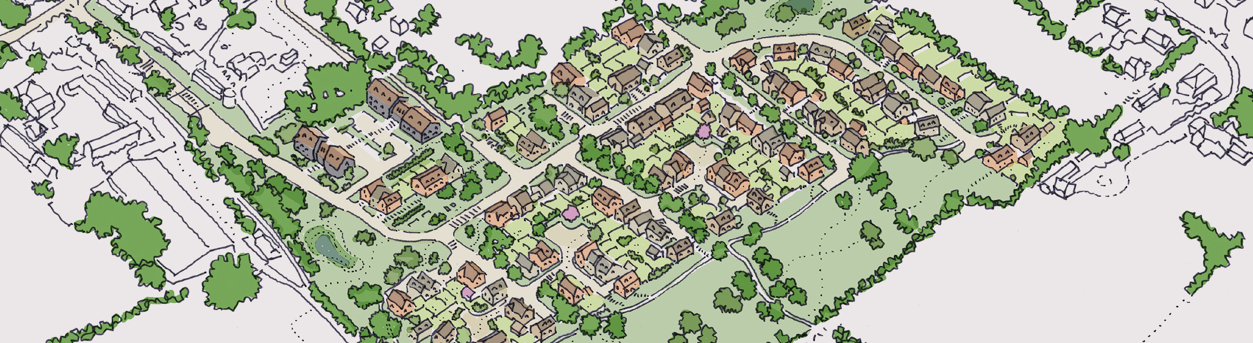
Transport and access
Planning safe and practical access
Access and traffic were significant concerns raised in relation to previous proposals for the site, so Taylor Wimpey is carefully considering this in relation to the current scheme.
The proposed main access would be from High Street, just south of Dovehouse Lane. The planning application will include details of the junction, visibility, vehicle movements, pedestrian and cycle arrangements and the expected effect of development traffic. Hertfordshire County Council, as the highway authority, will review the transport evidence independently.
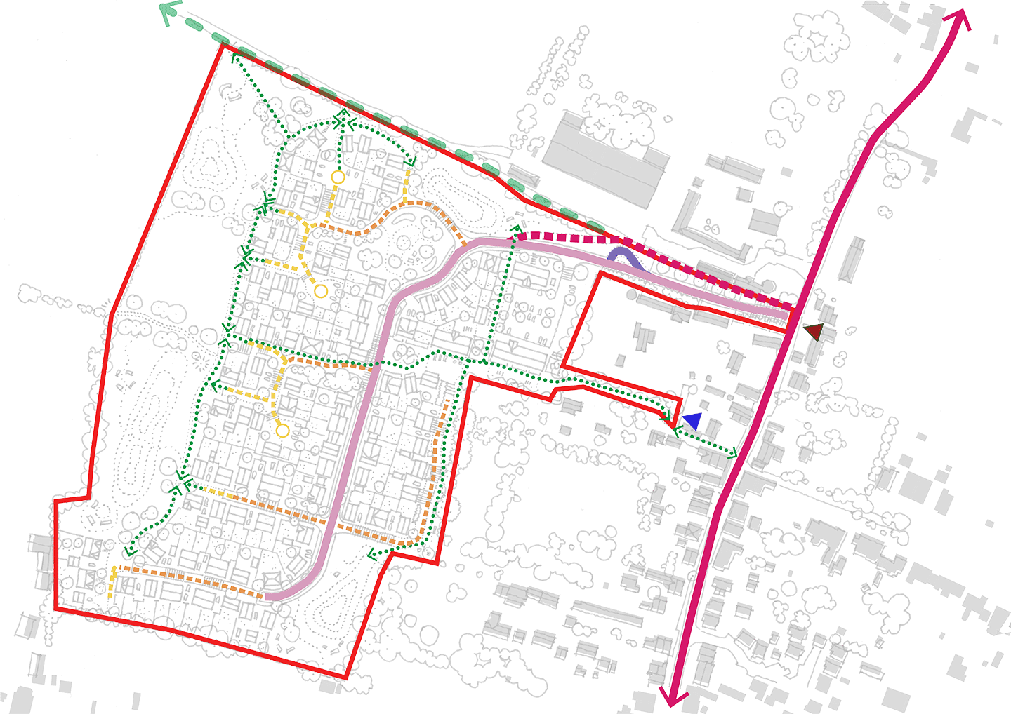
 Application boundary
 Vehicular access
 Pedestrian & cycle access
 Development’s principal road
 Existing public right of way
 High Street
 Emergency access route
 The Lanes
 Private drives
 Pedestrian route
 Potential turning loop for HertsLynx service
Site access
A new access from High Street
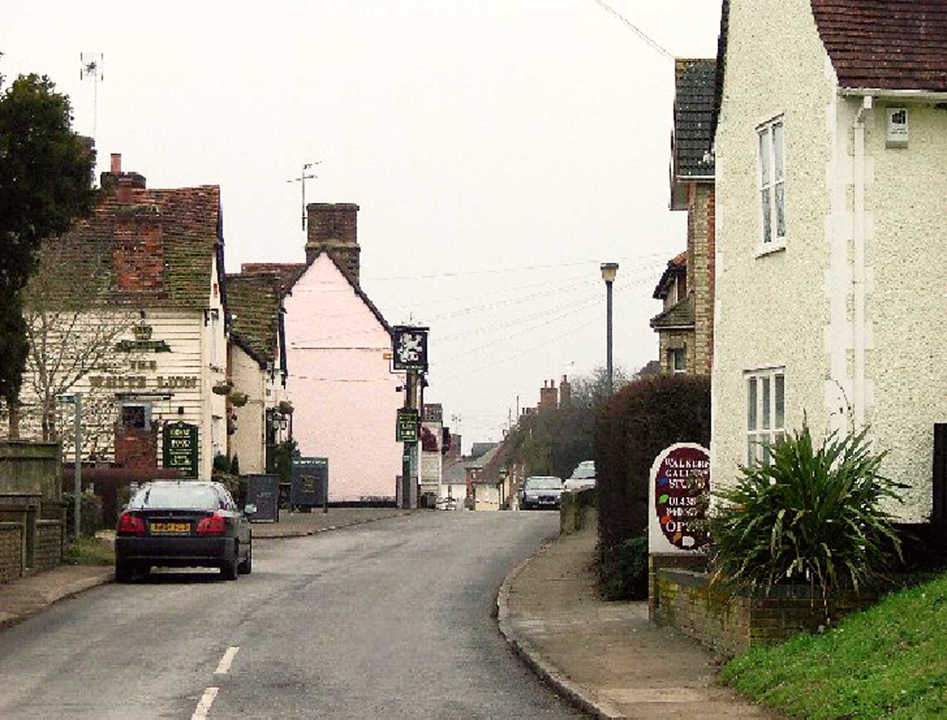
The principal vehicular access is proposed from High Street, immediately south of Dovehouse Lane. This is the only point where the development site directly meets High Street.
The access road is currently proposed to be 6 metres wide, narrowing to 5.5 metres within the site, with a 2-metre footway on its southern side. An off-road cycle route will also be considered where space allows.
The proposed access has been designed as a landscaped entrance lane that responds sensitively to the setting of the surrounding heritage assets.
Road safety
Testing the access
New speed surveys will inform the visibility requirements for the proposed junction. Vehicle tracking will also test how cars, refuse vehicles and fire engines would safely use the access.
A road safety audit will accompany the planning application, with Hertfordshire County Council independently reviewing the proposed arrangements before making its formal recommendation to East Herts District Council.
Traffic
Understanding the effect on local roads
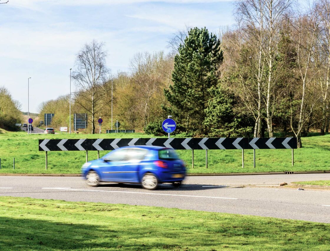
The Transport Assessment will consider existing traffic conditions, future growth and other committed developments before assessing the effect of the proposals on the surrounding road network.
Current work anticipates around 60 two-way vehicle movements during the morning peak hour and 56 during the evening peak hour. These figures will be tested through the detailed assessment.
The work will examine the site access and the Stevenage Road and High Street junction. A parking survey will also consider the effect of existing on-street parking in the centre of Walkern.
Active travel
Supporting walking, cycling and public transport
The proposals will provide walking and cycling connections throughout the development, linking homes with green spaces and the existing pedestrian network.
Formal pedestrian connections are proposed to Walkern High Street via Kitcheners Lane and to the existing bridleway along the northern boundary, helping improve access to the surrounding countryside.
The project team is also considering wider improvements to walking, cycling and public transport, including whether the HertsLynx bus service could be extended to serve the development. A Travel Plan will accompany the application, setting out measures designed to encourage walking, cycling, public transport and car sharing.

Construction
Managing construction traffic
If planning permission is granted, construction traffic, working hours, deliveries, noise, dust and contractor parking would be controlled through an agreed construction-management plan.
Due to the roads to the north of Walkern being unsuitable for large vehicles, construction vehicles will be restricted to travelling through the centre of Walkern. However, measures limiting the impact of construction vehicles on the village centre will be developed and agreed with Hertfordshire County Council and East Herts District Council as part of the construction management plan prior to construction starting. This will include managing and consolidating deliveries to reduce the number of vehicles as much as possible and to restrict deliveries to quieter times on the highway network.